We successfully mapped Kifisos (Cephissus) area on behalf of the Institute for Water Education (IHE Delft) under the auspices of UNESCO using our DJI Phantom 4 Pro V2.0 plus a Near Infra Red (NIR) camera.
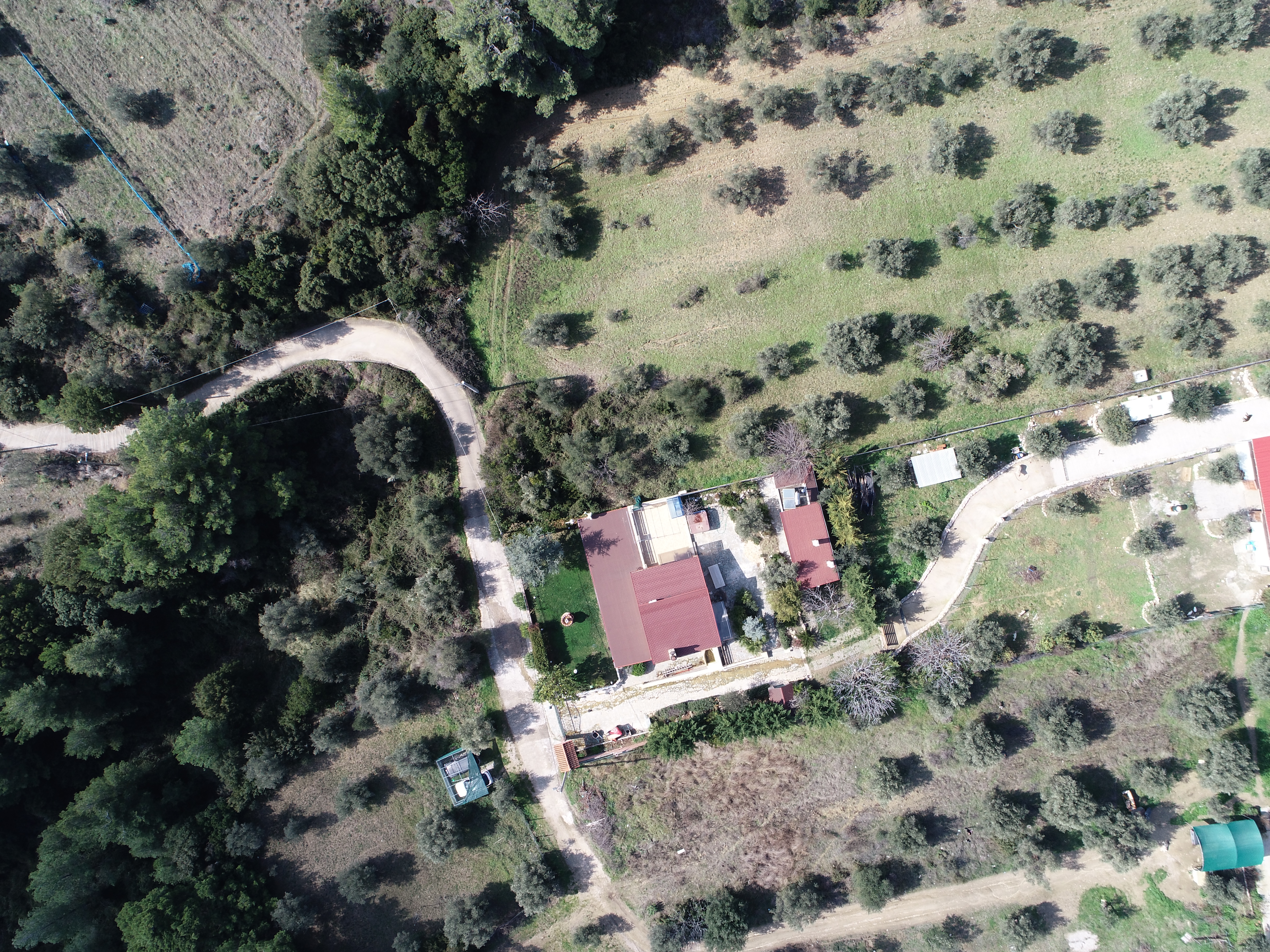
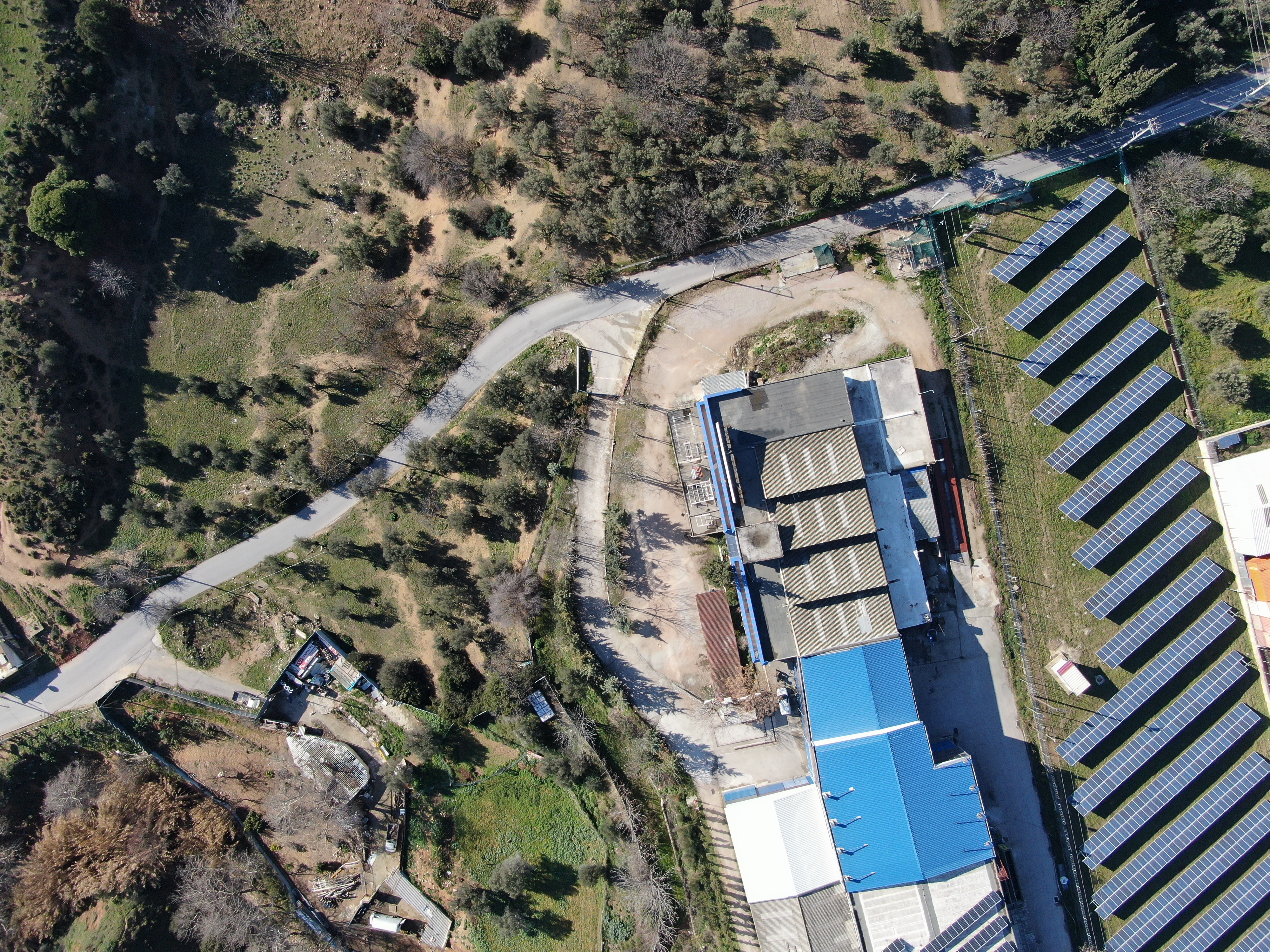
Here is a sample of RGB pictures (90 degrees down) taken on different days and areas which later were stitched together to produce orthomosaic maps.


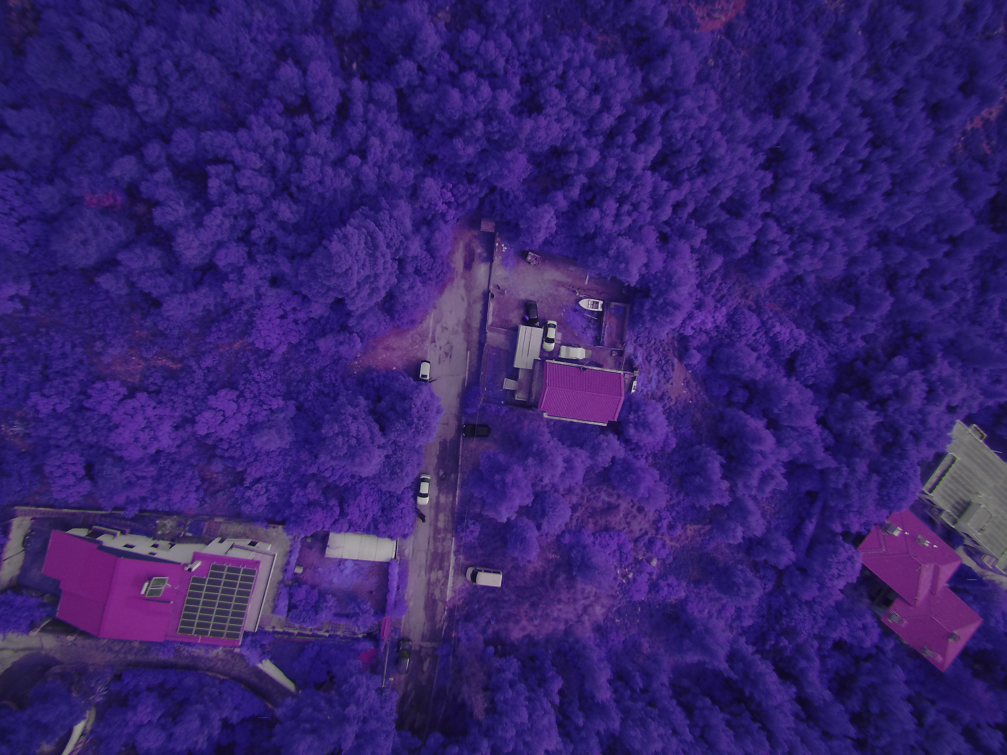
Here is a sample of NIR pictures (MAPIR survey camera)


Here is a sample of stitched photos to produce orthomosaic maps (about 1000 images for each map)


Here is an overlay of the map in Google Earth (.kml file)


